SpacEconomy Joined ESA–FMI Arctic Supersite Event
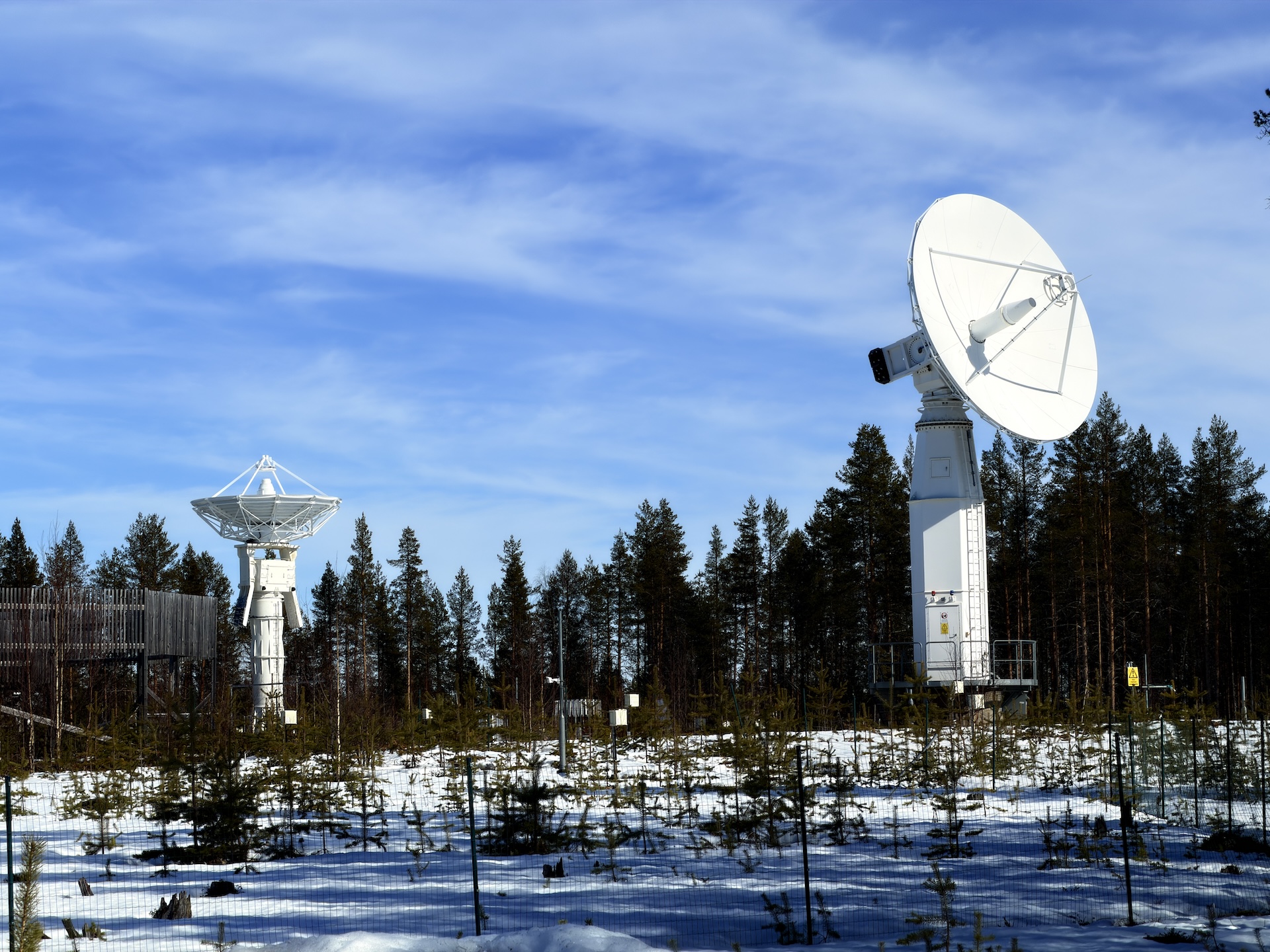
Surprise! In Finland, there is a space centre: Located firmly north of the Arctic Circle in Sodankylä, the Tähtelä observatory area is home to the Sodankylä Geophysical Observatory (under the University of Oulu) and the Finnish Meteorological Institute’s Arctic Space Centre. Together, they conduct research and measurements related to space and space technology. The Finnish Meteorological Institute also receives data from satellites and validates observations from Earth observation satellites – while, of course, carrying out regular weather observations.
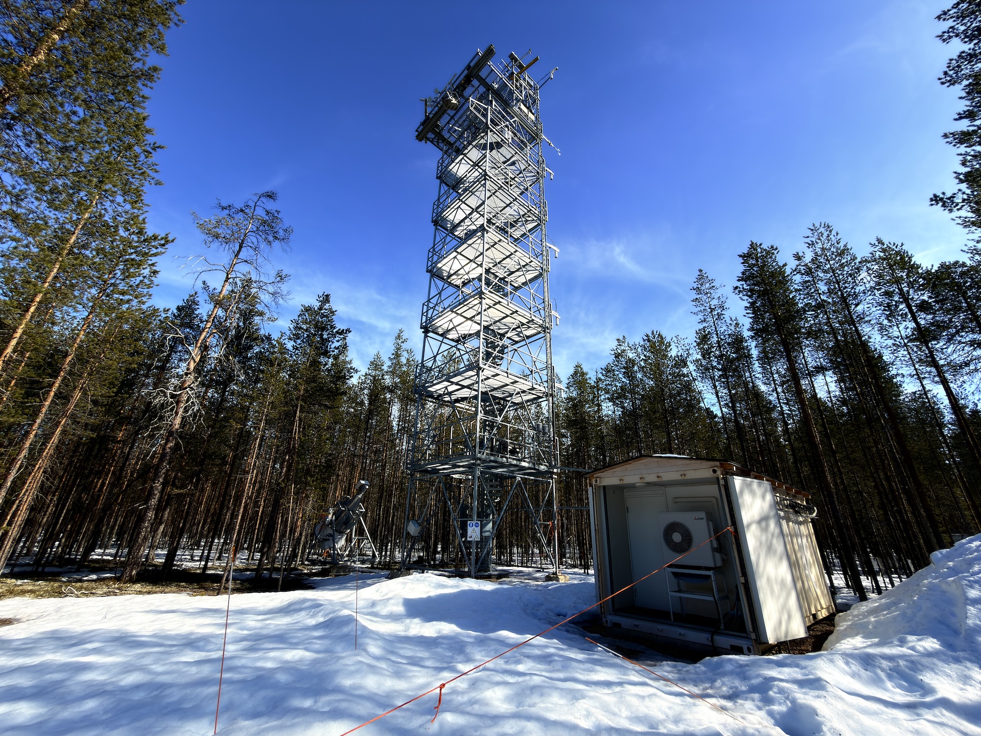
Observations have been made in Sodankylä since the mid-1800s, and the site is unique worldwide, not only because of its long history, but also due to its massive measurement capacity and accumulated expertise.
The European Space Agency (ESA) has selected the Arctic Space Centre as its first “Supersite.” Officially, it is an ESA-funded satellite calibration and validation centre called the ESA–FMI Arctic-Boreal Earth Science, Calibration and Validation Supersite. Its operations are now moving into the operational phase in April 2026.
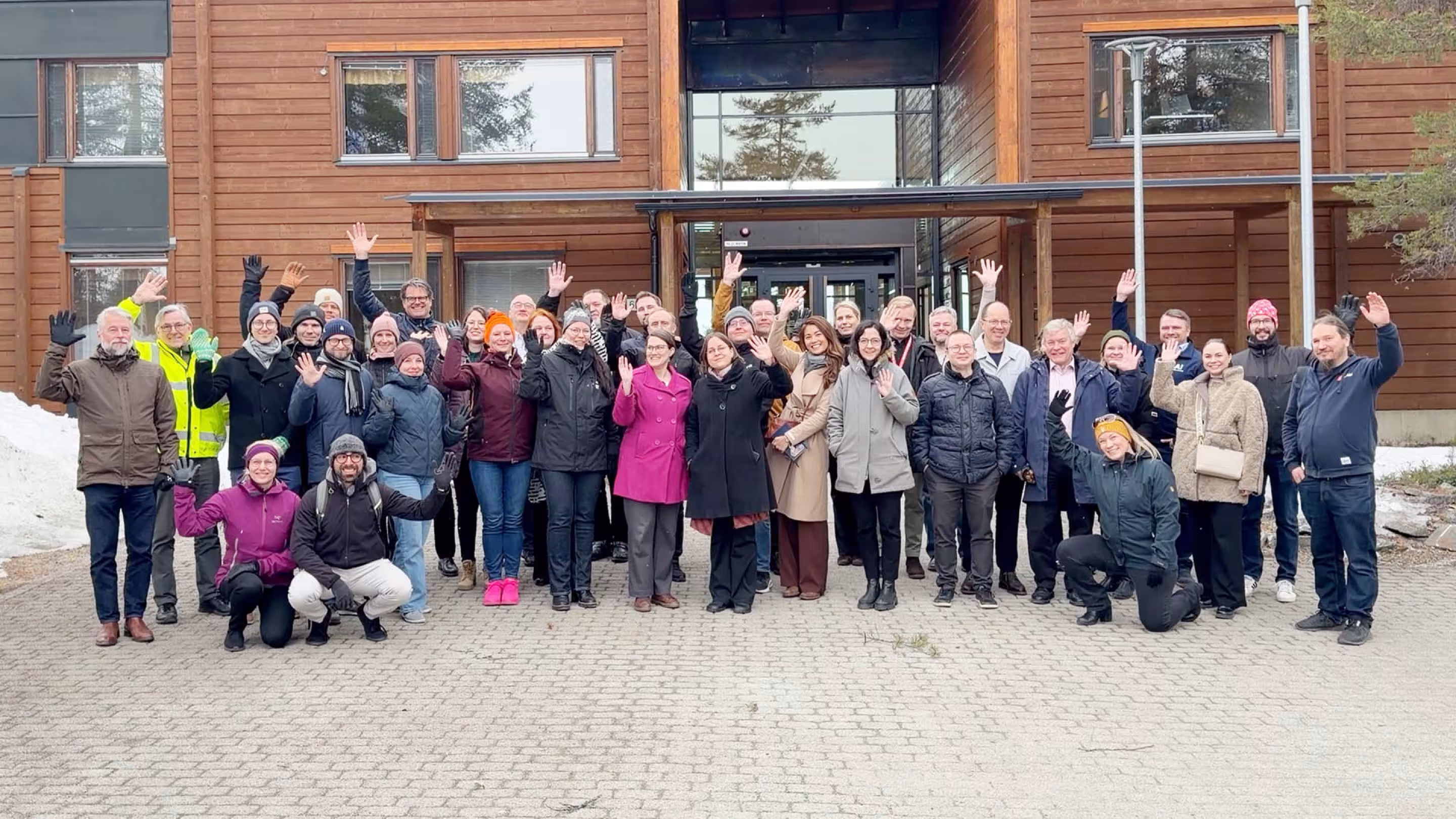
For this reason, researchers and space industry companies involved in the centre’s activities gathered in Sodankylä on 21–22 April to discuss the future, get to know the site, and meet one another. Although the Arctic Space Centre already has a great deal of technology and expertise, the Supersite needs companies and their services to support its operations.
In this current phase, the following companies are involved: CGI, Harp Technologies, Gofore, Kelluu, Kuva Space, and Vaisala. Their technology and expertise are used for making observations and managing the collected data.
The event also included potential new cooperation partners; a total of 12 companies whose services the centre either already uses or could use in the future.
“The most important task of the Supersite is to make accurate measurements of, among other things, the northern forest environment, snow and hydrology, greenhouse gases, and atmospheric composition – in addition to normal weather observation data,” says the centre’s principal investigator, Hannakaisa Lindqvist.
“When this data is compared with satellite measurements, the accuracy of space-based observations can be verified and adjusted to match real-world values.”
The centre also conducts research related to validation and provides logistics for special measurement campaigns and the development of observation technology.
According to Malcolm Davidson, head of ESA’s ground validation programmes who was present at the event, Sodankylä is the best place in the world for this kind of activity, considering the breadth of observations, the historical coverage of measurement data, and the existing infrastructure.
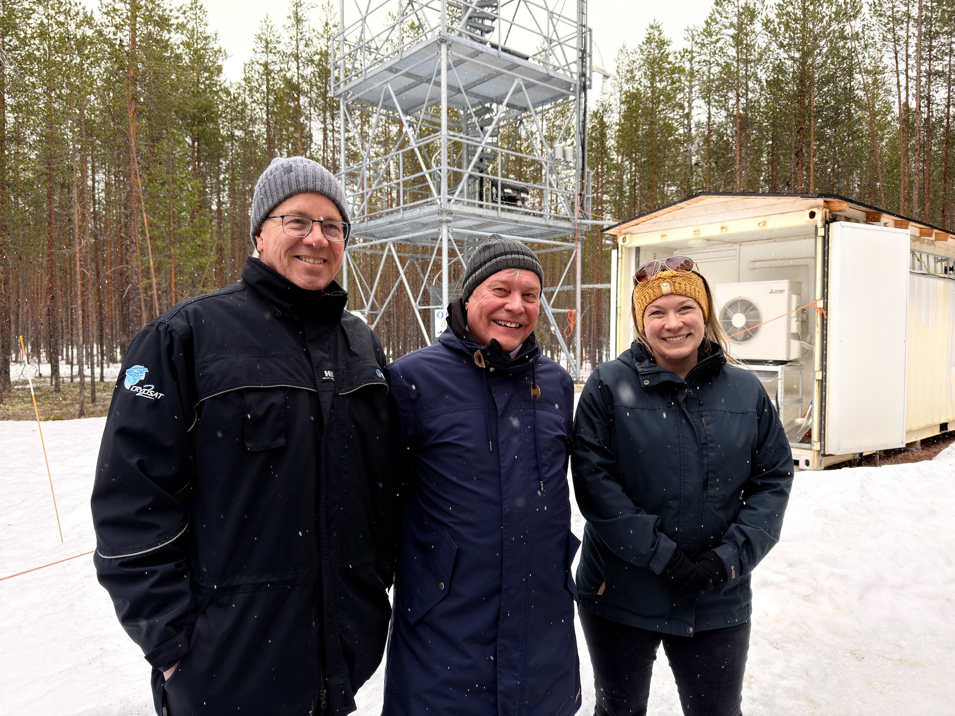
Malcolm Davidson (left) and Hannakaisa Lindqvist (right) are joined in this image by Jouni Pulliainen, director of the FMI Space and Earth Observation Centre.
The event also promoted the development of Finland’s space economy. The space economy refers to all economic activity related to space – both directly and indirectly. It is not just about building satellites and launching rockets, but largely about business operations, services, and technologies that utilise or are connected to space.
One of the organisers of the event was SpacEconomy, an organisation working to advance the space economy in Finland.
The programme sees that Finland – and Lapland in particular – has significant potential for developing the space economy. Globally, space activities and related services are growing rapidly, and everyday regions have recently become strategically important.
Space is already an invisible but pervasive sector that affects society and all its functions. If, for example, satellite navigation, the related time synchronisation, satellite communications, or the many services that utilise Earth observation were to be disrupted, it would have direct impacts on everyday life.
The Finnish Meteorological Institute’s Arctic Space Centre plays a key role here as well: in Sodankylä, data and images are received from satellites passing overhead approximately 70 times per day. This includes, for example, information on ice conditions in the Gulf of Bothnia – near real-time images allow ships to choose the fastest and most economical route.