SpacEconomy goes ovearseas, again
SpacEconomy has once again been active internationally.
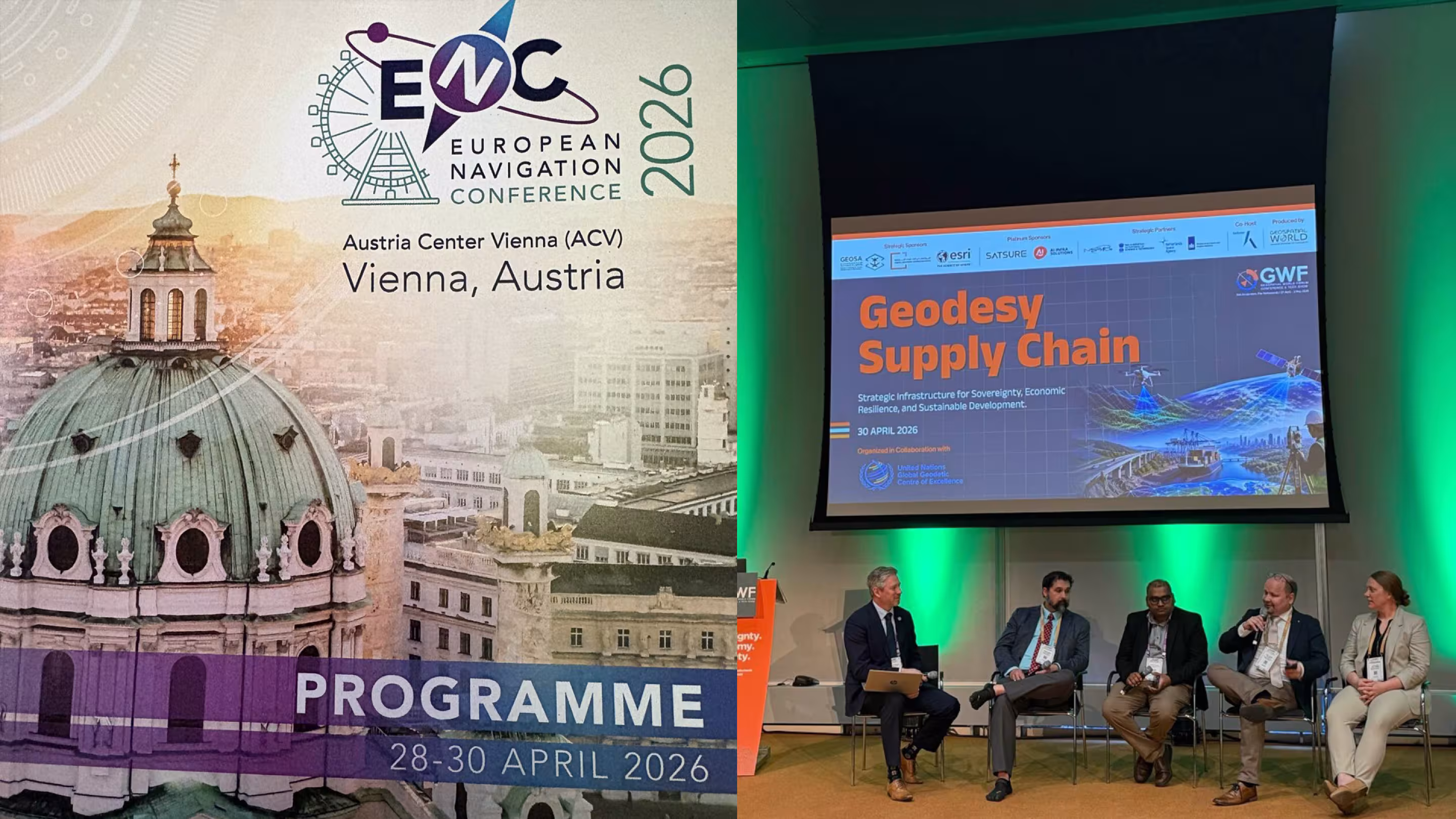
First, our principal investigator Heidi Kuusniemi participated on April 28 in Vienna at the major European navigation conference ENC2026, focused on satellite navigation. Around 450 participants from 35 different countries attended, discussing current topics in positioning, navigation, and timing across five parallel tracks, along with posters, exhibitions, and one-on-one meetings.
Heidi delivered a keynote presentation (“Multi-layered, multi-technology PNT”) and, of course, highlighted our project as well.
One interesting aspect of the conference was that, despite the tense international situation, all countries in the world—except Russia, which had not participated in cooperation even before its invasion of Ukraine—were present and coordinating their activities.
The conference program and highlights can be found on its website: https://lnkd.in/deWNksPR
Immediately after the Vienna conference, WP5 leader Hannu Koivula from the Finnish Geospatial Research Institute of the National Land Survey participated in a panel discussion at the Geospatial Conference & Tech Show held in Amsterdam. This year’s theme was “Sovereignty, Economy & Society,” and Hannu’s panel focused on “Diagnosing Structural Vulnerabilities in the Global Geodesy Domain.”
In a message sent from Amsterdam, Hannu reminds us that geodesy is the science that measures the Earth’s position, shape, and gravitational field.
“Geodesy is the foundation upon which nearly the entire digital and space-based society is built. The geodetic value chain includes ground stations, data analysis, and geodetic products. These products include global coordinate systems and the Earth’s orientation in space (beneath satellites). All satellites—used for positioning, navigation, weather, communication, and Earth observation—depend on this information to function correctly. The challenge is that this foundation is not maintained in line with its critical importance.”
The problem is that nearly all key ground stations are operated by universities and research institutes using national funding.
“Investment is insufficient, systems are vulnerable, and development is fragmented. Industry involvement is also limited because responsibilities and benefits are unclear. The consequences can be serious.”
“If geodesy fails, satellite positioning data becomes distorted, navigation degrades, data chains break, and critical services suffer. This is not an academic issue, but a risk to the entire digital infrastructure, space operations, and the reliability of society.”
The goal of the Amsterdam event was to highlight why geodesy is critical for society, identify its vulnerabilities, and bring together the public sector, industry, and research to ensure a sustainable and reliable geodetic supply chain.
In Finland, the situation has been handled well. The National Land Survey—one of the key partners in the SpacEconomy project—has modernized the Metsähovi Geodetic Research Station, which produced its first observations for the geodetic supply chain back in the 1970s.