SpacEconomy on a tour in Bonn and Brussels – with geodesy on the agenda
The Finnish Geospatial Research Institute (FGI) of the National Land Survey of Finland is one of the partners in the SpacEconomy project. Its main responsibility within the project is to address strategic and security-related challenges of the space economy and to safeguard the functioning of space-derived data and services during disruptions.
FGI also produces Earth Orientation Parameters for space programmes using its own infrastructure and through international partnerships. In addition, it contributes to protecting satellites from space debris and works to mitigate disturbances in Positioning, Navigation and Timing (PNT) systems.
All of this supports Finland’s preparedness and overall security.
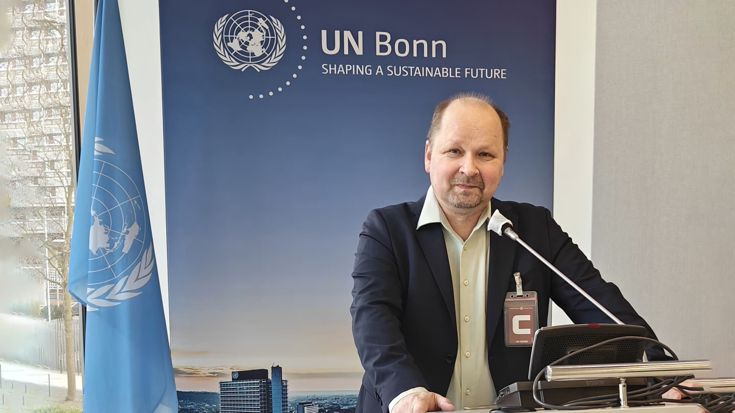
In connection with these activities, Hannu Koivula, Director of the Finnish Geospatial Research Institute and Principal Investigator of SpacEconomy Work Package 5, is currently attending meetings in Germany and Belgium.
At the moment (11–12 March), the plenary meeting of the Subcommittee on Geodesy of the UN Committee of Experts on Global Geospatial Information Management (UN-GGIM) is taking place at the UN Campus in Bonn.
The subcommittee’s key objectives include implementing UN General Assembly Resolution 69/266 and supporting and guiding the UN Global Geodetic Centre of Excellence (UN‑GGCE) in developing its work programme, while providing scientific and operational expertise.
One of the most important goals is to establish a strong governance framework for a reliable global reference coordinate system.
A stable and reliable coordinate reference system and geodesy form the foundation for integrated geospatial data collection and management, and they are essential for measuring and monitoring our dynamic planet. Finland contributes significantly to this work through the Metsähovi Geodetic Research Station of the National Land Survey of Finland and its research activities. The global objective is to achieve a coordinate reference frame with millimetre-level accuracy, with its rate of change known extremely precisely (0.1 millimetres per year).
Without precise knowledge and maintenance of the coordinate reference frame and its rate of change, accurate satellite navigation would not be possible.
After the UN meeting, Hannu will continue to Brussels to participate in discussions on the same topic. On 12–13 March, the planning meeting of the European Space Agency’s Genesis mission will take place there.
Genesis is a highly ambitious and important geodetic mission that combines several space-based measurement techniques on a single satellite. Its goal is to establish an extremely precise link between different satellite positioning and measurement systems.
The mission aims to determine with very high accuracy the exact shape and size of the Earth, the rotation of the planet, the movement of tectonic plates, and changes in sea level. All of these factors affect navigation.
In practice, this means that the observation technologies used at geodetic observatories such as the Metsähovi Geodetic Research Station (VLBI, SLR, GNSS and DORIS) will be brought into space on board a satellite. This will enable, among other things, more accurate calibration of ground stations and support the goal of achieving a millimetre-accurate global reference frame.