A day without Geographic Information System

The National Defence University has close cooperation with the SpacEconomy project, although it is not an official partner of the project.
Researcher Suvi-Tuulia Haakana from the National Defence University writes in our guest blog about what would happen if satellite-based geospatial systems were no longer functioning. We rarely think about them, but if satellite navigation and all its related services were suddenly unavailable, the impact would be immediately noticeable.
---
A day without GIS: Geospatial systems as a cornerstone of national security
Your navigation system guides you through the morning rush hour to a client meeting. An ambulance and a fire engine speed past with purpose, dispatched from nearby stations and reaching the accident site quickly.
At the same time, in the background, the power grid balances loads and monitors faults, water network operators maintain situational awareness of flows, store shelves are restocked with food, pharmacies with medicines, and by the end of the day, the postal service has (perhaps) found its way to your home. These everyday activities are all based on geospatial information systems.
Satellite-based geospatial systems – Geographic Information Systems (GIS) and the satellite navigation systems that feed them with data, GNSS (Global Navigation Satellite Systems) – and the services built on them create situational awareness, guide operations, and support decision-making.
They tell us where things are and how they are connected. But what would happen if geospatial systems were unavailable?
What happens when location data disappears?
Without geospatial systems, many everyday functions would stop working almost immediately.
Navigation services would go dark, making movement more difficult and increasing errors. However, the impacts are broader than they first appear. Supply chains would be disrupted because logistics data would no longer be available in real time. The distribution of essential goods and mail to shops, pharmacies, public institutions, schools, and households would be affected.
Emergency services would lose their ability to optimize routes and allocate resources efficiently. Rail and air traffic management would become more difficult. Disruptions in electricity distribution and water supply could be prolonged when location-based situational awareness is unavailable. The operations of police, defense, and security organizations would be affected. Even industrial construction would suffer.
The fundamental functions of society would begin to crack, even though the physical infrastructure itself remains intact.
The perspective of national resilience
Resilience refers to the ability to withstand disruptions and recover from them. Geospatial systems play a central role in this, as they connect critical sectors of security of supply and function as part of digital critical infrastructure.
For example, a power outage can affect telecommunications, which in turn affects logistics and ultimately security of supply. This is known as a cascading effect and is one of the key risks in a modern digital society.
The importance of geospatial data is not only related to its use but also to how it can be misused.
A single dataset containing location information may seem harmless, but when multiple datasets are combined, they can create a comprehensive picture that reveals critical sites, infrastructure vulnerabilities, or operational patterns.
In research, this phenomenon is known as cumulative risk, where individually harmless pieces of information together form strategically significant knowledge. This makes geospatial systems an attractive target for foreign intelligence operations, as well as cyber and hybrid operations aimed at disrupting society without conventional warfare.
In today’s turbulent security environment, not all disruptions are accidental. Cyber and hybrid operations, as well as foreign intelligence activities, have increased significantly in recent years. These operations aim to identify and exploit vulnerabilities in society, typically with the goal of creating instability and eroding trust.
Geospatial systems are an attractive target in this context because they enable wide-ranging impacts across multiple functions, often without immediate visibility of the attack.
From a military science perspective, such actions are part of the growing field of cyber-cognitive warfare, where effects may target systems directly or the operational activities and decision-making processes they support.
Manipulating geospatial data can lead to flawed analysis, overlooked critical information, decision-making based on incorrect situational awareness, and ultimately wrong or even harmful conclusions.
Solutions: cooperation and a shift in mindset
The first step toward improving geospatial resilience is to recognize these systems as part of our critical infrastructure. Traditionally, geospatial systems have been seen as support systems, but over time they have become essential to ensuring the smooth functioning of core societal operations.
However, this alone is not enough. We also need closer cooperation between geospatial and cybersecurity experts, as well as discussion on how to secure geospatial data in sectors critical to security of supply.
In the context of geospatial systems, traditional cybersecurity is not always sufficient, as the field has several unique characteristics: data combinability, complex distributed system chains, and dependence on external services. These systems also involve a strong operational context that must be considered as part of security development.
Increasing hybrid threats and an unstable geopolitical environment are putting pressure on securing geospatial systems that are critical to society. We need not only more skilled professionals in the field, but also multidisciplinary cooperation, research, and investment.
Strengthening geospatial resilience significantly improves society’s security of supply and is also an important development step for defense readiness.
Research at the National Defence University on developing geospatial resilience helps break down academic silos and provides organizations critical to security of supply with concrete operational development measures. These make it possible to identify and prioritize key geospatial systems in our society and to target appropriate cybersecurity measures at them.
---
This text is based on doctoral research Geospatial Information Systems at the Nexus of Cyber and Hybrid Warfare(Haakana), the cyber maturity study of the National Emergency Supply Agency (HVK, Accenture 2025), the memorandum of the national geospatial risk assessment working group (Ministry of Finance 2024), and the interim report on open sharing of critical infrastructure data (Ministry of Finance 2025).
Additional information:
Your time also comes from space
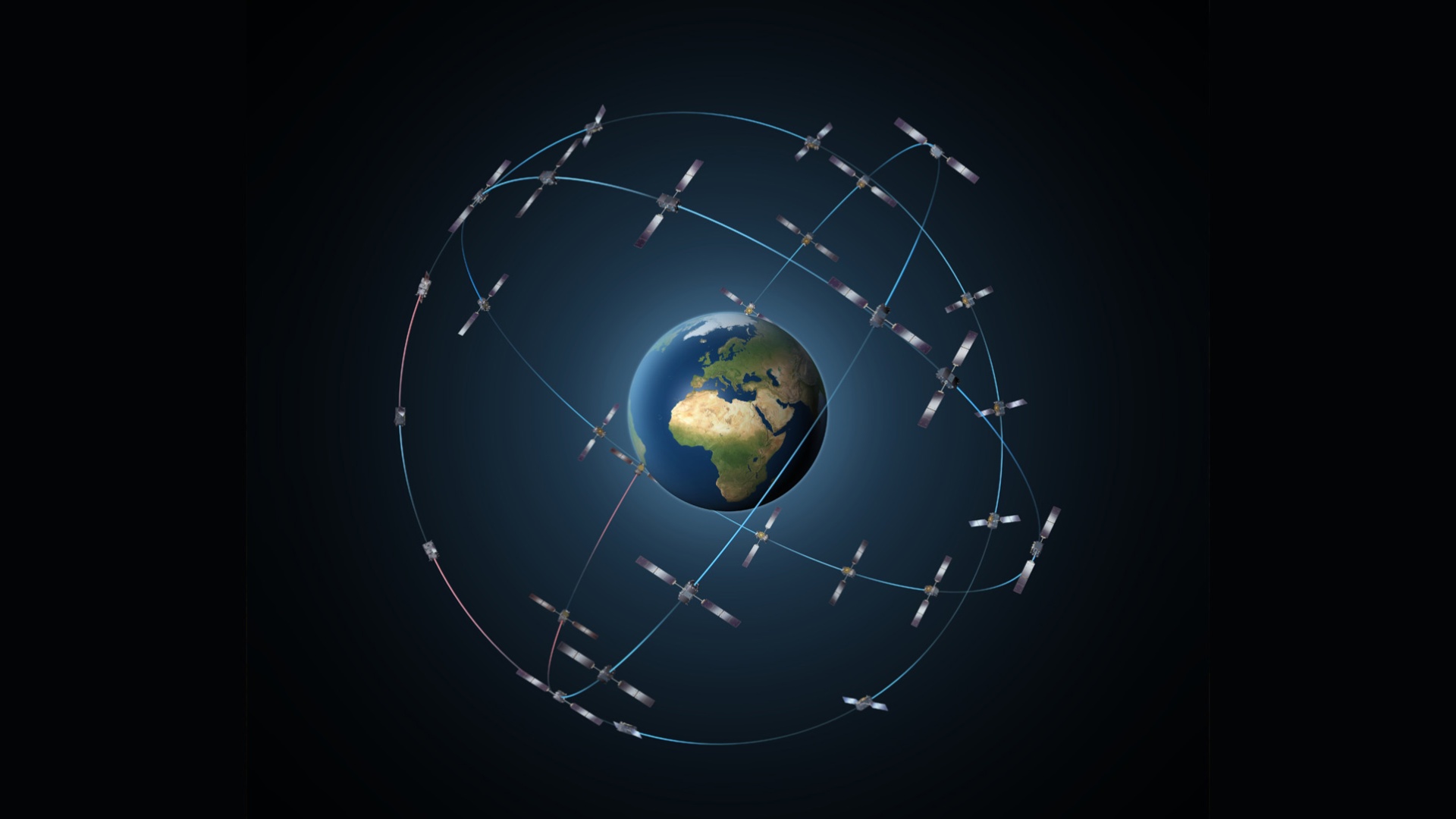
Satellite navigation systems (GNSS – Global Navigation Satellite System, such as the American GPS and the European Galileo) are satellite-based systems that enable precise determination of location, movement, and time anywhere on Earth.
The time signal produced by these systems is fundamental to their operation. Positioning is based on measuring how long a signal sent from a satellite takes to travel—and even a small timing error can cause significant positioning errors. Atomic clocks onboard satellites provide extremely precise, globally synchronized time.
The importance of this time signal extends far beyond positioning. It is used, for example, to synchronize power grids and telecommunications networks, to timestamp financial transactions, and to manage transportation systems. For this reason, GNSS time is a critical part of modern society’s infrastructure.