
Unique GNSS Data from Norway – Jammertest Advances Resilient Positioning, Navigation and Timing
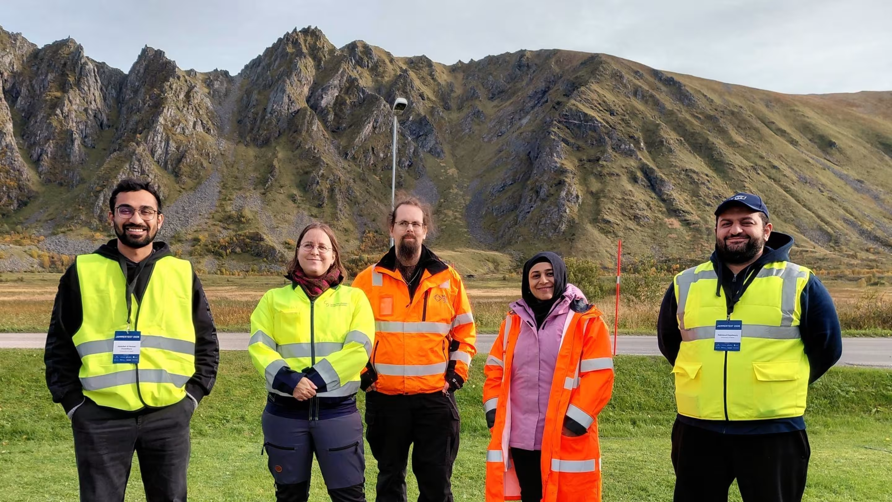
Jammertest is an annual event focused on satellite positioning and timing, held in Andøya, Norway. The event offers a unique opportunity to test equipment and collect data on GNSS jamming and spoofing to support the development of more resilient positioning, navigation, and timing services. The SpacEconomy project was represented by Tampere University, the University of Vaasa, and the Finnish Geospatial Research Institute of the National Land Survey of Finland. The event is organized by the Norwegian Public Roads Administration, the Norwegian Communications Authority, the Norwegian Defence Research Establishment, the Norwegian Metrology Service, the Norwegian Space Agency, and Testnor.
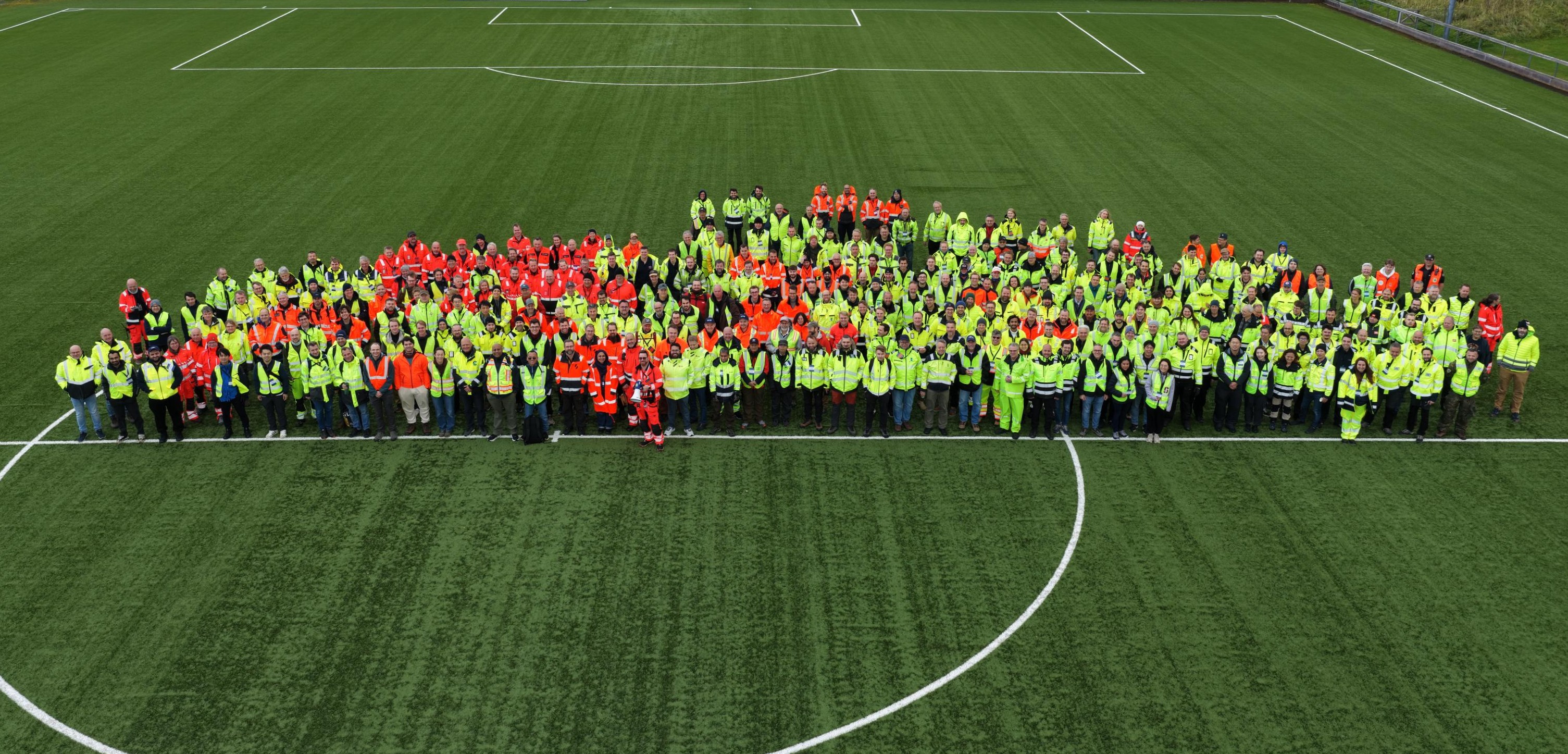
In September 2026, the event brought together 302 professionals from 28 countries around the world. Dozens of parallel scenarios involving jamming, spoofing, and meaconing were carried out under real-world conditions across three test areas. While jamming aims to prevent positioning, spoofing and meaconing aim to mislead the receiver. Jamming overwhelms genuine satellite signals with interference, whereas spoofing introduces false signals. Meaconing involves receiving and rebroadcasting genuine satellite signals, making them appear to come from a different location or arrive at a different time. A mathematical understanding of these threats is essential for developing more resilient navigation and timing systems for drones, vehicles, and critical infrastructure, such as banking services.
Despite a packed catalogue of pre-planned tests, the organizers had also set aside time for participants’ special requests and needs. How impressive is that! The whole event was well organized, with plenty of coffee, delicious waffles served with Norwegian brown cheese, and home-baked cakes and other treats to keep everyone going.
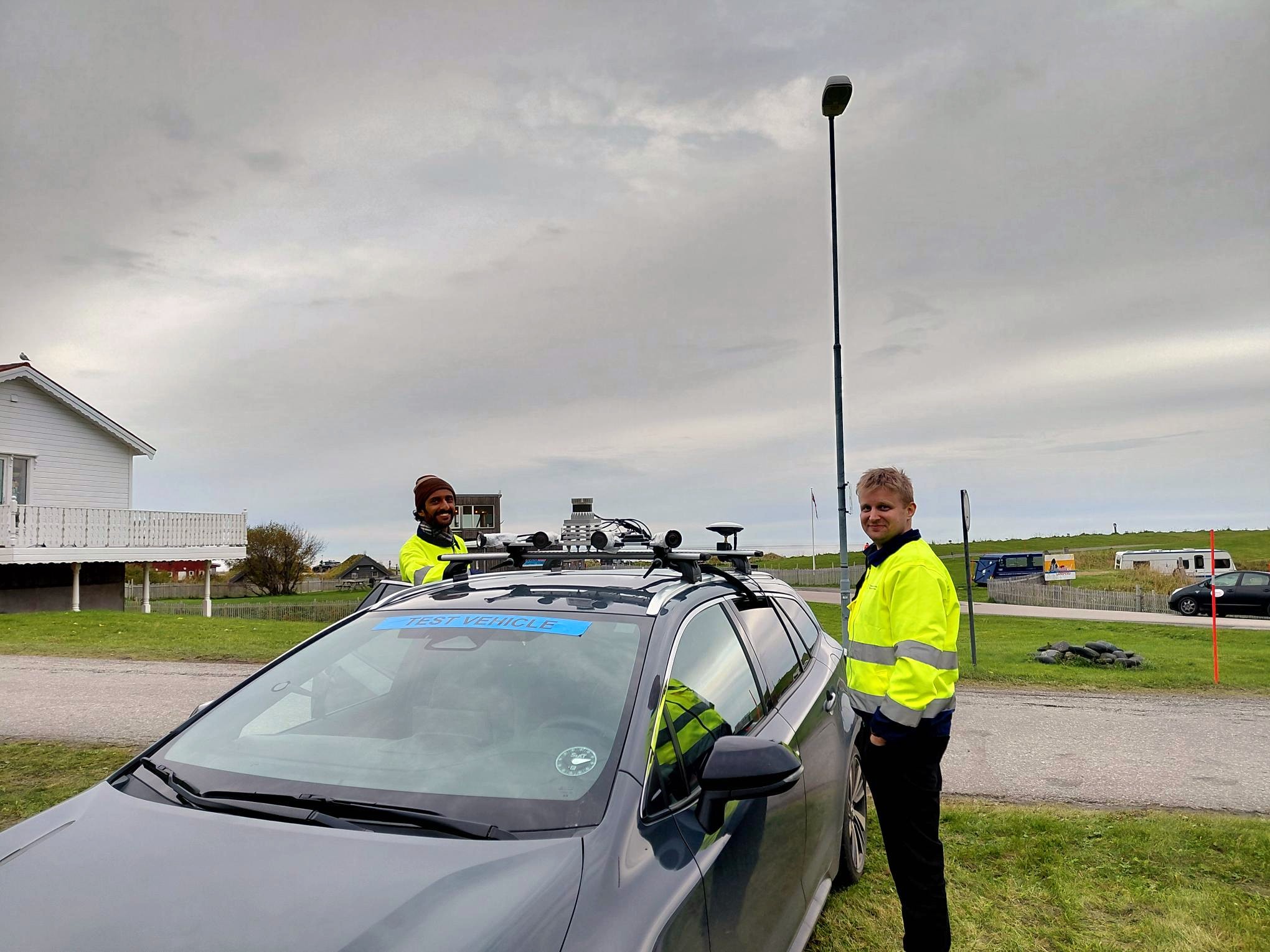
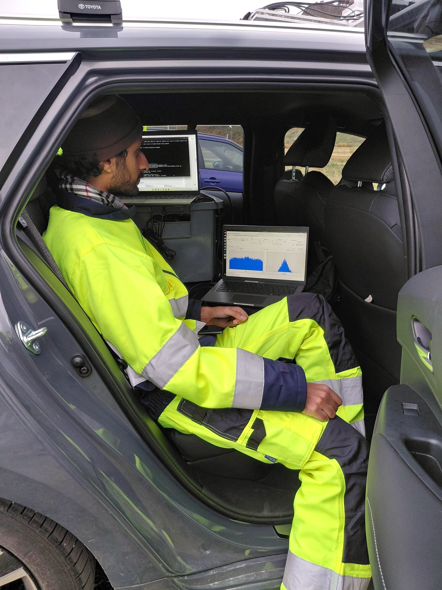
One of our most valuable takeaways is the IQ data collected with the TeleOrbit IQ logger. During the week, Safi recorded terabytes of GNSS, cellular, and other radio-frequency signals. The IQ dataset provides researchers with unique material for studying jamming, spoofing, meaconing, and other phenomena that disrupt positioning, navigation, and timing systems. Because IQ data preserves the original signals, researchers can replay the recordings later, examine specific frequency bands, and analyse even individual signals in great detail in the laboratory. NovAtel SPAN and Nordic Inertial provide reference data against which the data collected during interference can be compared.
Reflecting on the experience, Safi says: “The best part was meeting lots of people and seeing how much coverage Jammertest was getting from all around the world, as well as seeing people with different solutions to interference and sharing knowledge that will help with my own research. The hard part was the first day, when the data gathering didn't work and there was a lot of pressure, but eventually everything worked out well. In the future, I'll analyze all the data collected. I plan not only to build a repository, but also to find ways to detect and counter GNSS interference through different methods, particularly using maps and GIS data.”
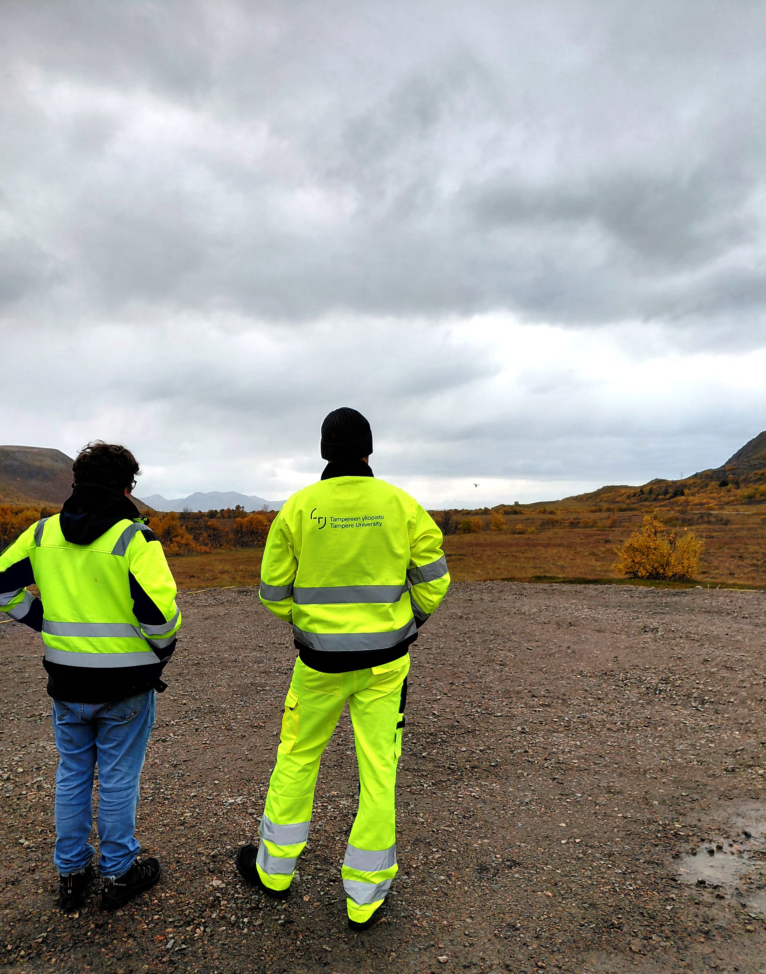
Long days spent behind the wheel and outdoors in the drizzle monitoring drones can sometimes feel demanding, but the valuable data we collect makes the effort worthwhile. What makes the Jammertest datasets particularly valuable is the opportunity to collect data from controlled yet realistic GNSS interference scenarios. Some of the signal interference was produced using commercially available equipment, while other scenarios were carried out in cooperation with the Finnish and Swedish Defence Forces. The datasets create opportunities for scientific breakthroughs by enabling researchers to develop and test practical solutions and validate them using data collected under real-world field conditions.
This work is becoming increasingly important as interference with satellite navigation has increased considerably in recent years and is also used as a tool of hybrid warfare. At the same time, modern societies depend heavily on satellite-based positioning and precise timing. There is therefore a growing need both for more reliable satellite-based services and for multi-layer solutions that can maintain accurate positioning and timing when satellite signals are disrupted or unavailable.
Jammertest 2026 attracted worldwide attention. For example, the global news organization Al Jazeera published a video report from the event on YouTube. This international coverage shows just how timely and globally significant GNSS interference and research around it has become. You can watch Al Jazeera’s video here: Norway’s Arctic tech test: Protecting satellite signals the world depends on – YouTube
Several SpacEconomy members in the main picture (from left to right): Abdullah Al Noman Chowdhury (University of Vaasa), Ia Hyttinen (Tampereen University), Mika Saajasto (Finnish Geospatial Research Institute/National Land Survey of Finland), Muwahida Liaquat (Finnish Geospatial Research Institute/National Land Survey of Finland) sekä Mahmoud Elsanhoury (University of Vaasa).